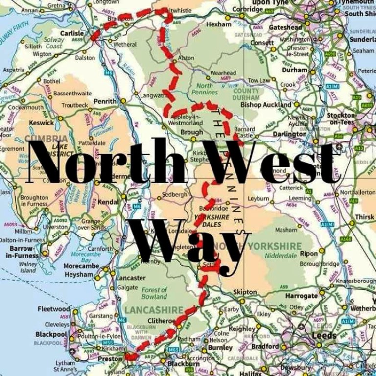
Image for information only, this is not a useable guide map.
for latest information contact
Steve Garrill
North West Way
An exiting new route between
Preston and Carlisle
205 Miles
Image for information only, this is not a useable guide map.
for latest information contact
Steve Garrill
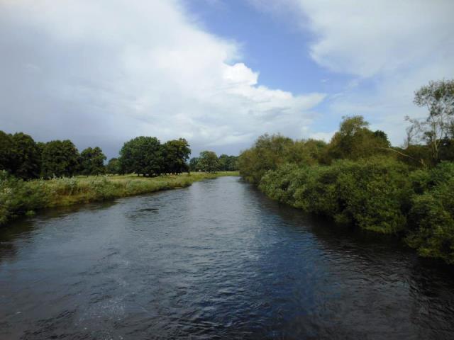
 A peaceful start along the Ribble |
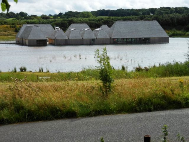 Brockholes Wetlands Centre, with floating restaurant/coffee shop |
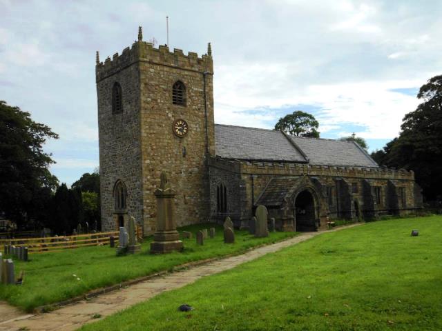
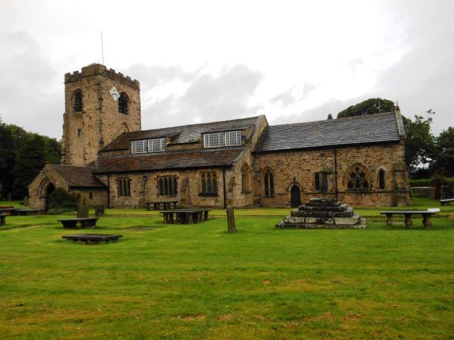 Saint Wilfrids Church |
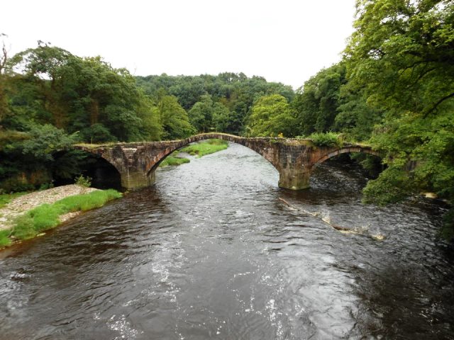 Cromwell's Bridge, an old packhorse bridge Cromwell's army used on their way to the Battle of Preston |
 St Mary's Church in Gisburn |
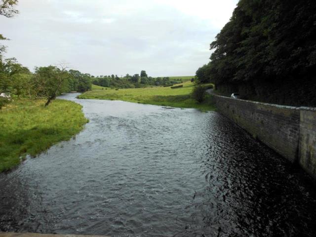 Paythorne Bridge, Salmon arrive middle of November |
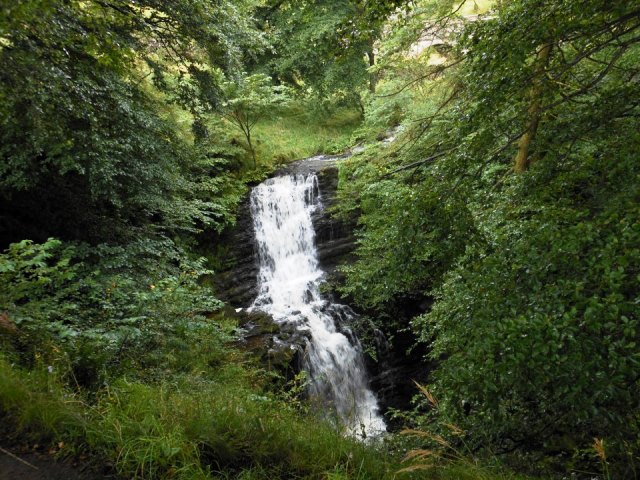 Scalebar Force |
 Malham Tarn |
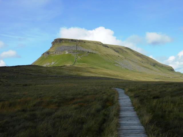 Pen-y-Ghent |
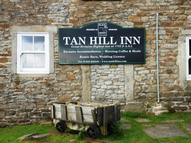 Tan Hill Highest pub in England |
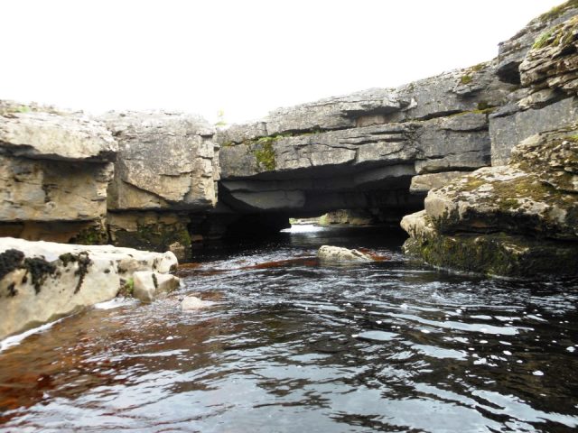 God's Bridge |
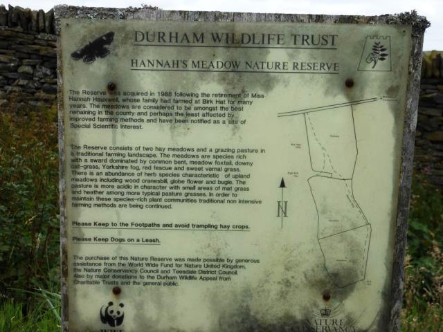 Where Hannah Hauxwell lived and farmed. |
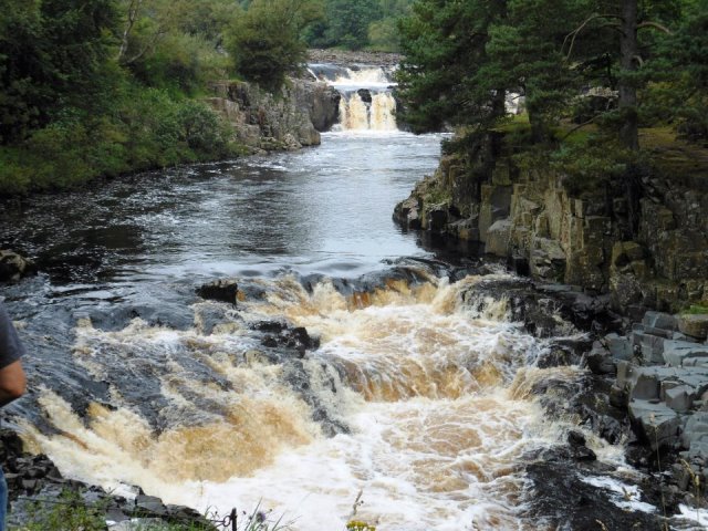 Low Force |
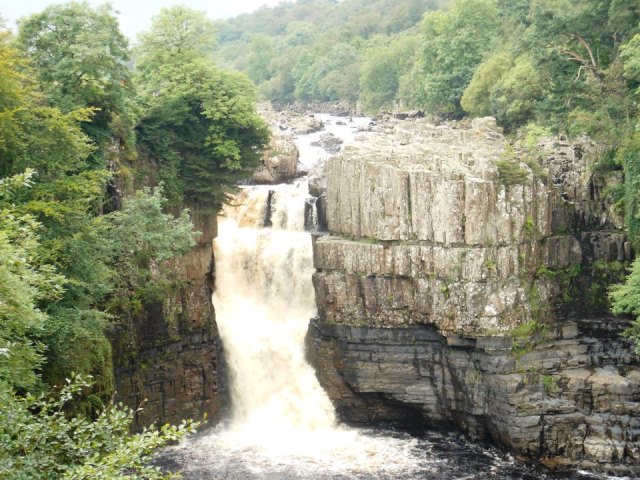 High Force |
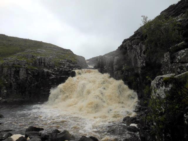 Cauldron Snout |
 ancient clapper bridge |
 |
 |
 |
 |
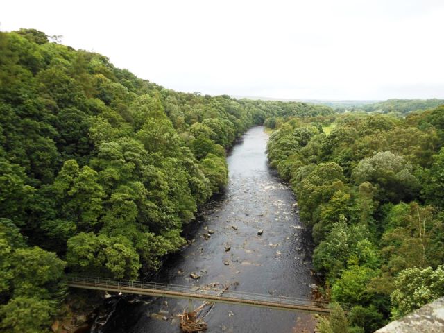 View from top of viaduct |
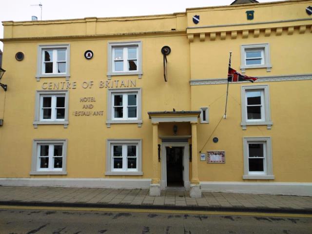 Centre of Britain |
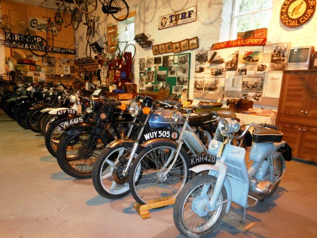
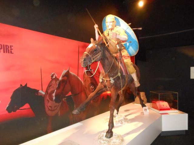 Museum at Carvoran |
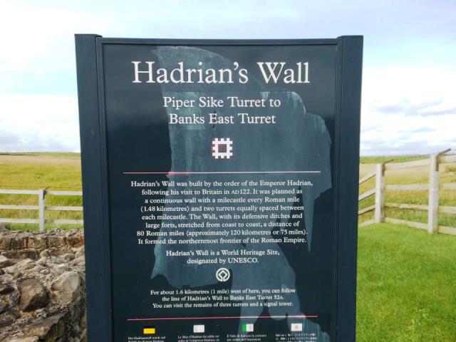
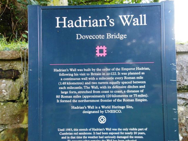
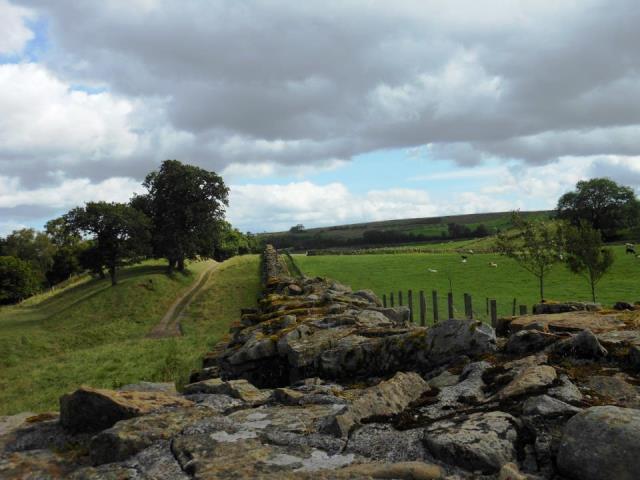 Hadrians Wall |
 |
 |
 Last bit of the river Carlisle up ahead |
 Crossing the bridge into Carlisle and the finish
 |
If you would like support on all or sections of this walk
|
|
|
|
|
|